
Maps and Cartography
Printed by Wagner & Debes


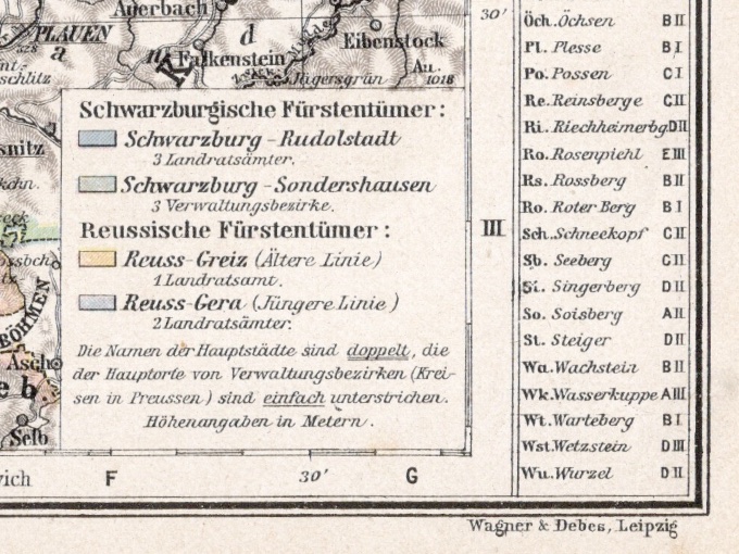
Original map from Genrman encylopedia; Geograph, Anstalt von. The year of publication was likely between 1903-1908. Very well preserved map with vibrant colors. Measures appx. 10" wide by 7" tall. The back is blank. Condition is Very Good / Excellent with no writing, no folds, no stains, no damage, very little age discoloration.
Year/Era: 1903-08
Condition: Very Good/Excellent
Inventory no.: 389100463
$8.00